Stefan's US66 pictures (2004)
Oklahoma
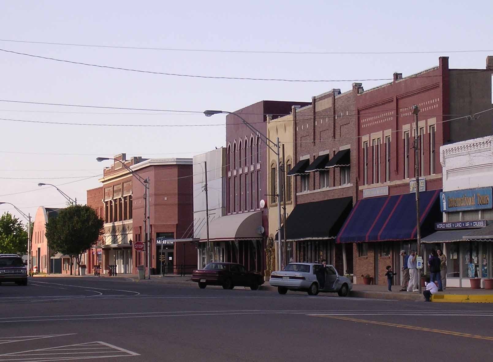
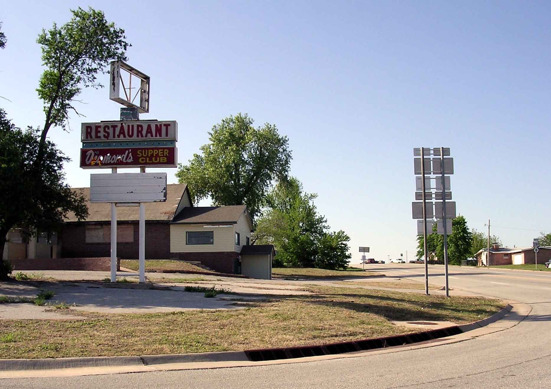
El Reno downtown
Oklahoma
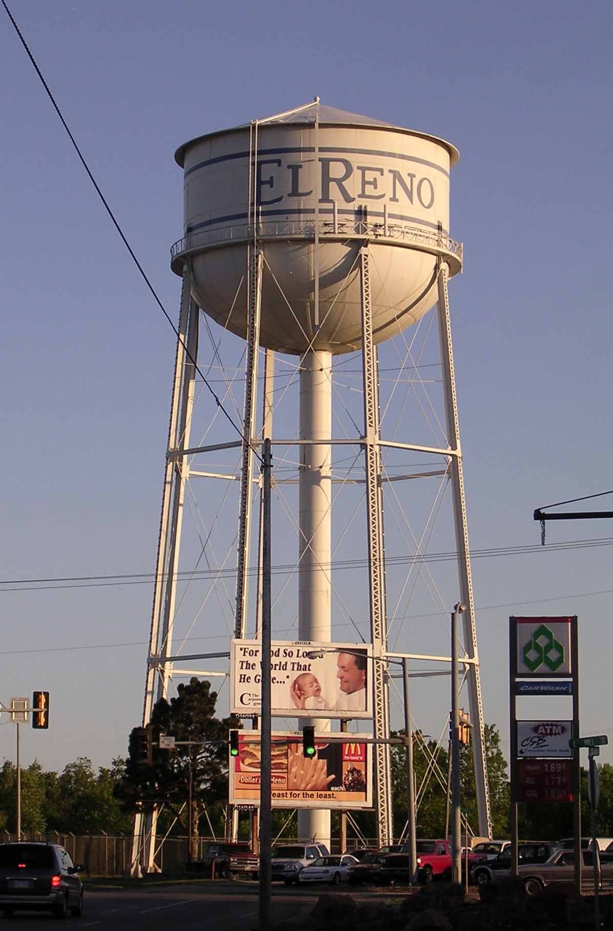
El Reno water tower
Oklahoma
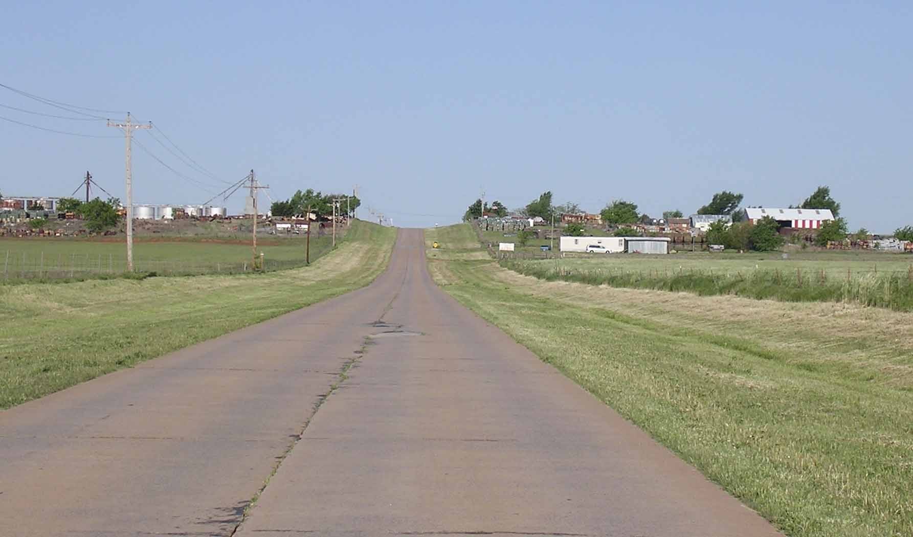
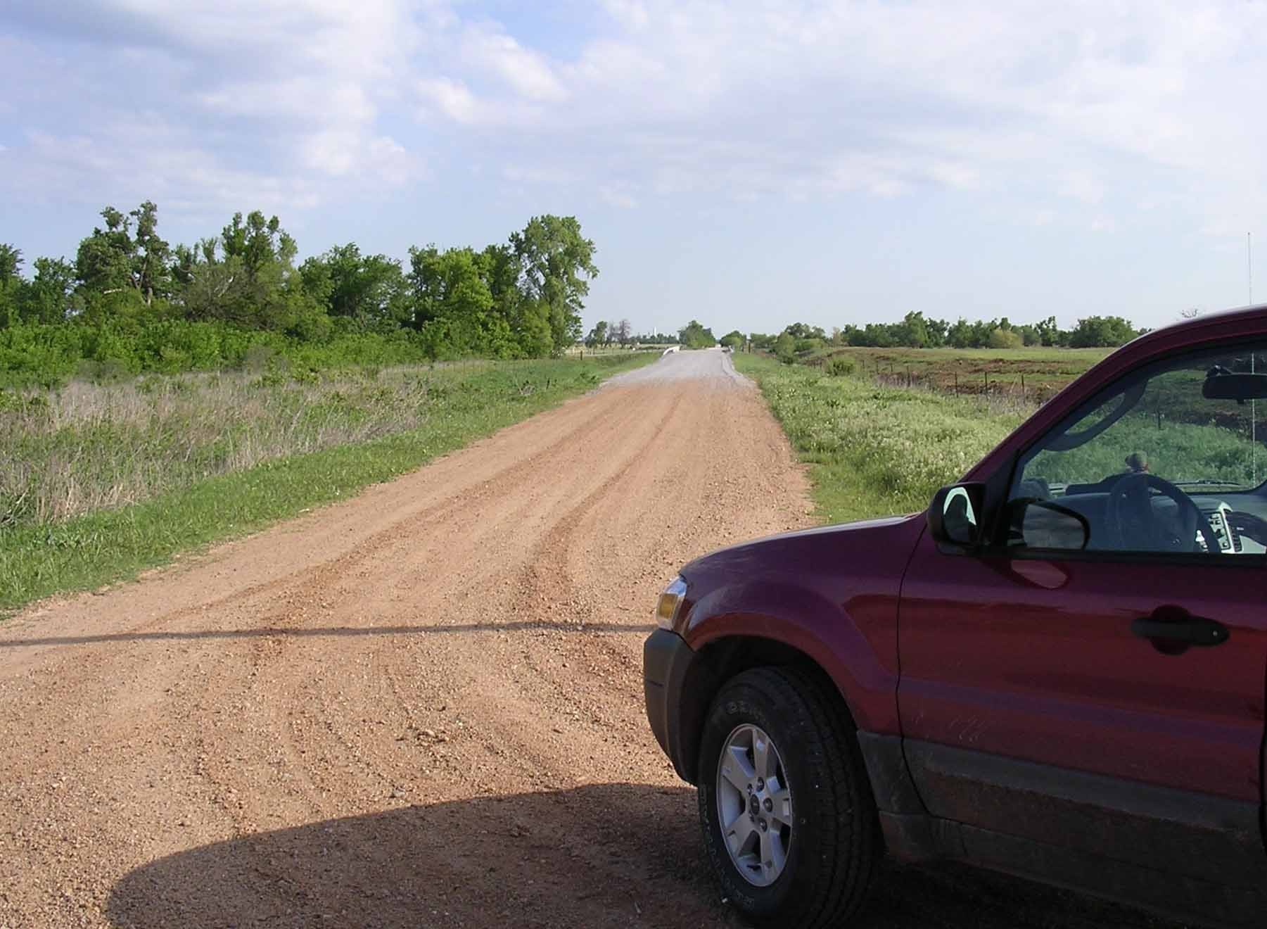
Approaching the El Reno Cutoff westbound
Oklahoma
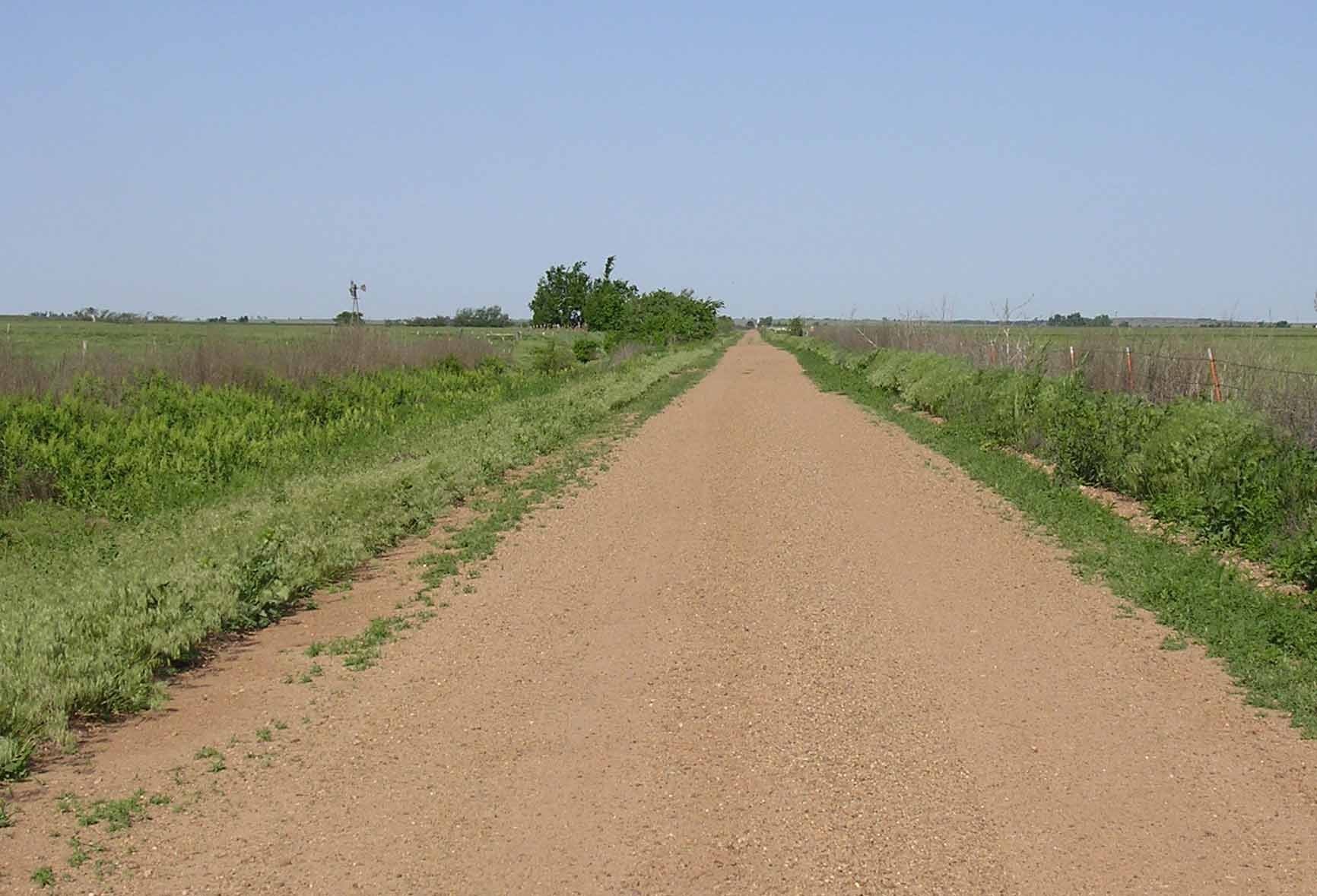
The El Reno Cutoff westbound
Oklahoma
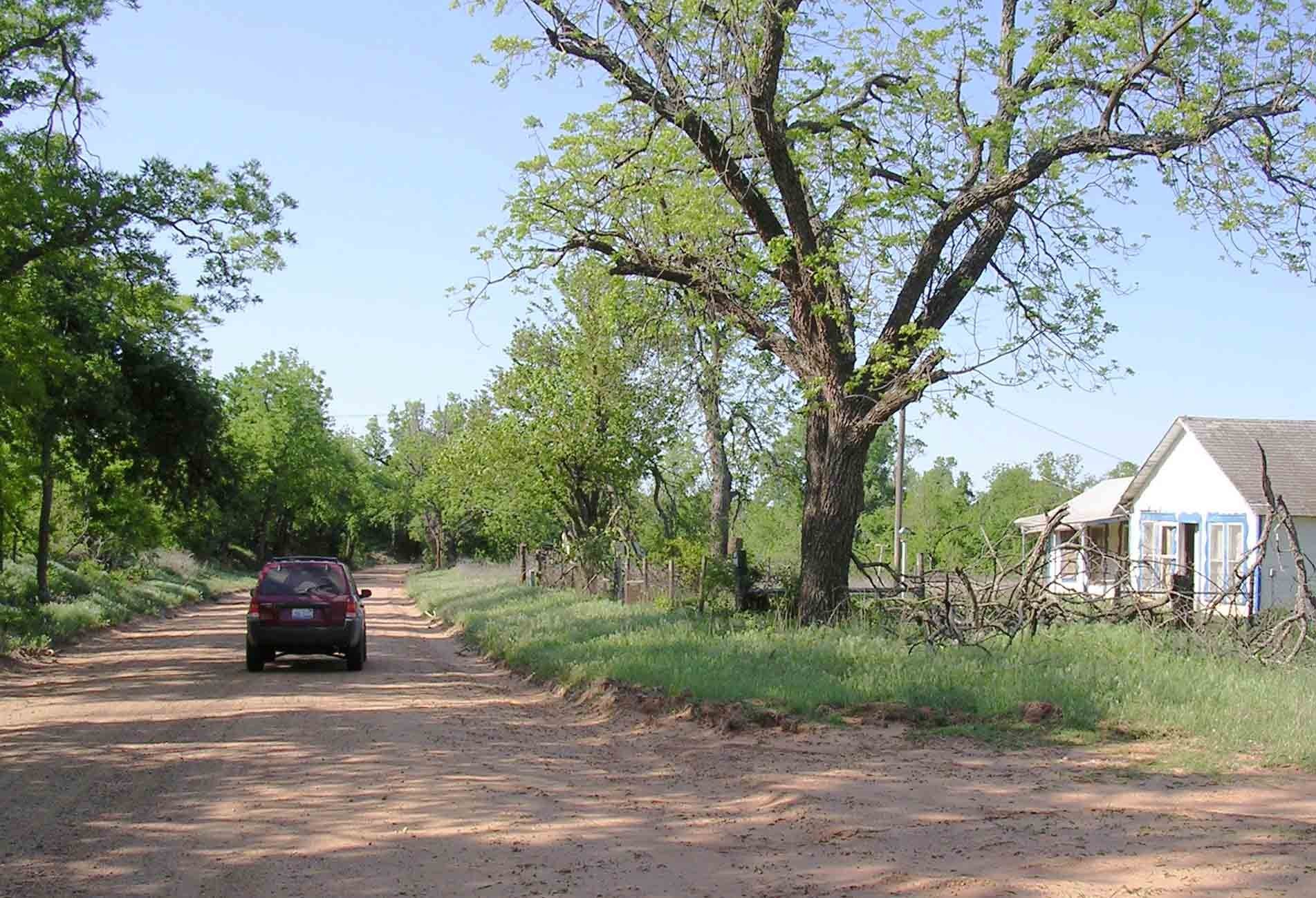
Oldest alignment westbound into Calumet
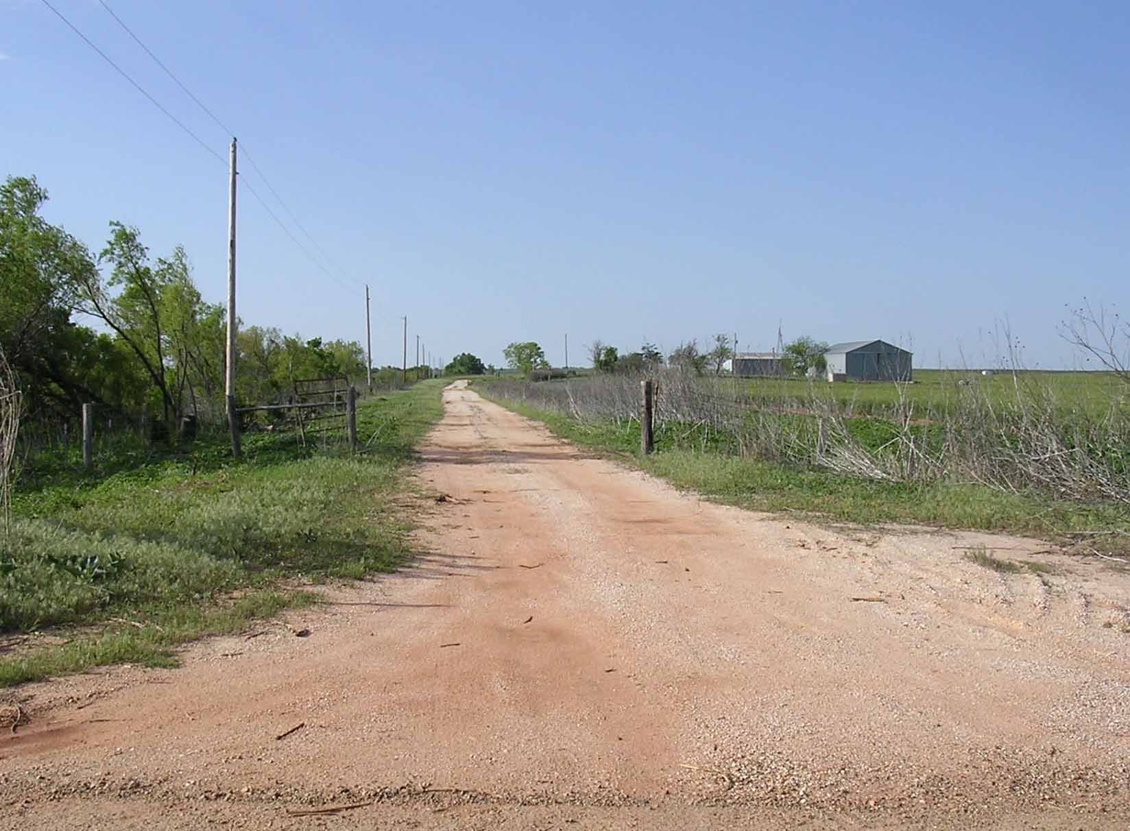
Oklahoma
Souh of Calumet eastbound
Oklahoma
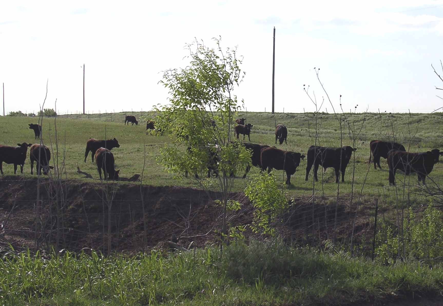
Overgrown 1926 alignment west of Calumet
Oklahoma
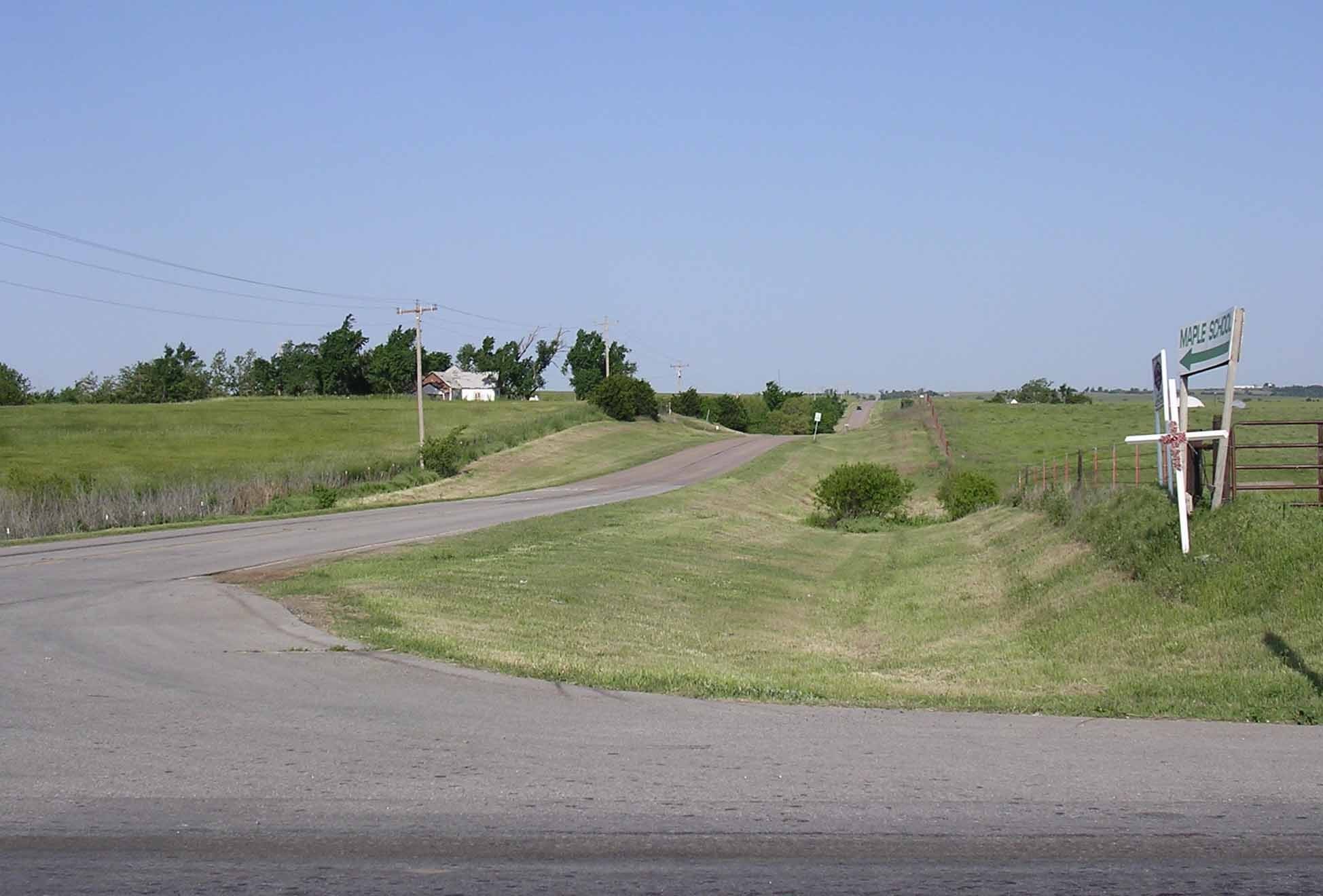
Alignments west of Calumet
Oklahoma
Old alignment west of Calumet (westbound view)
Oklahoma
Geary downtown
Oklahoma
Leaving Geary westbound
Oklahoma
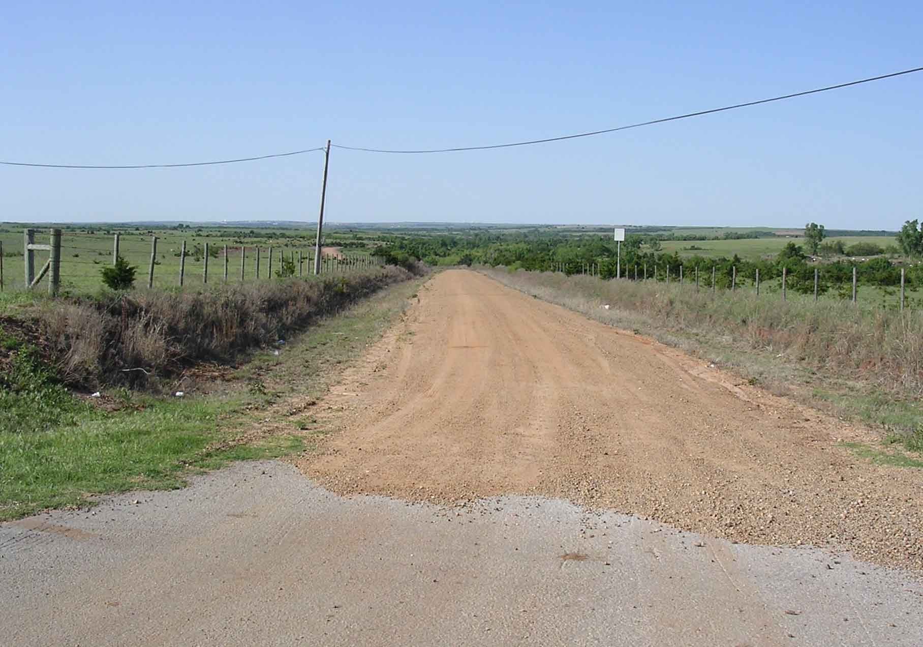
South of Geary on old Postal Rd (OPR)
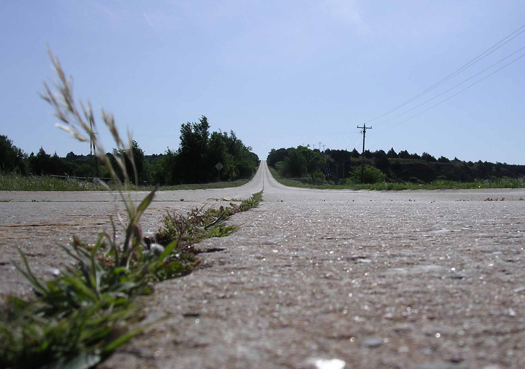
Oklahoma
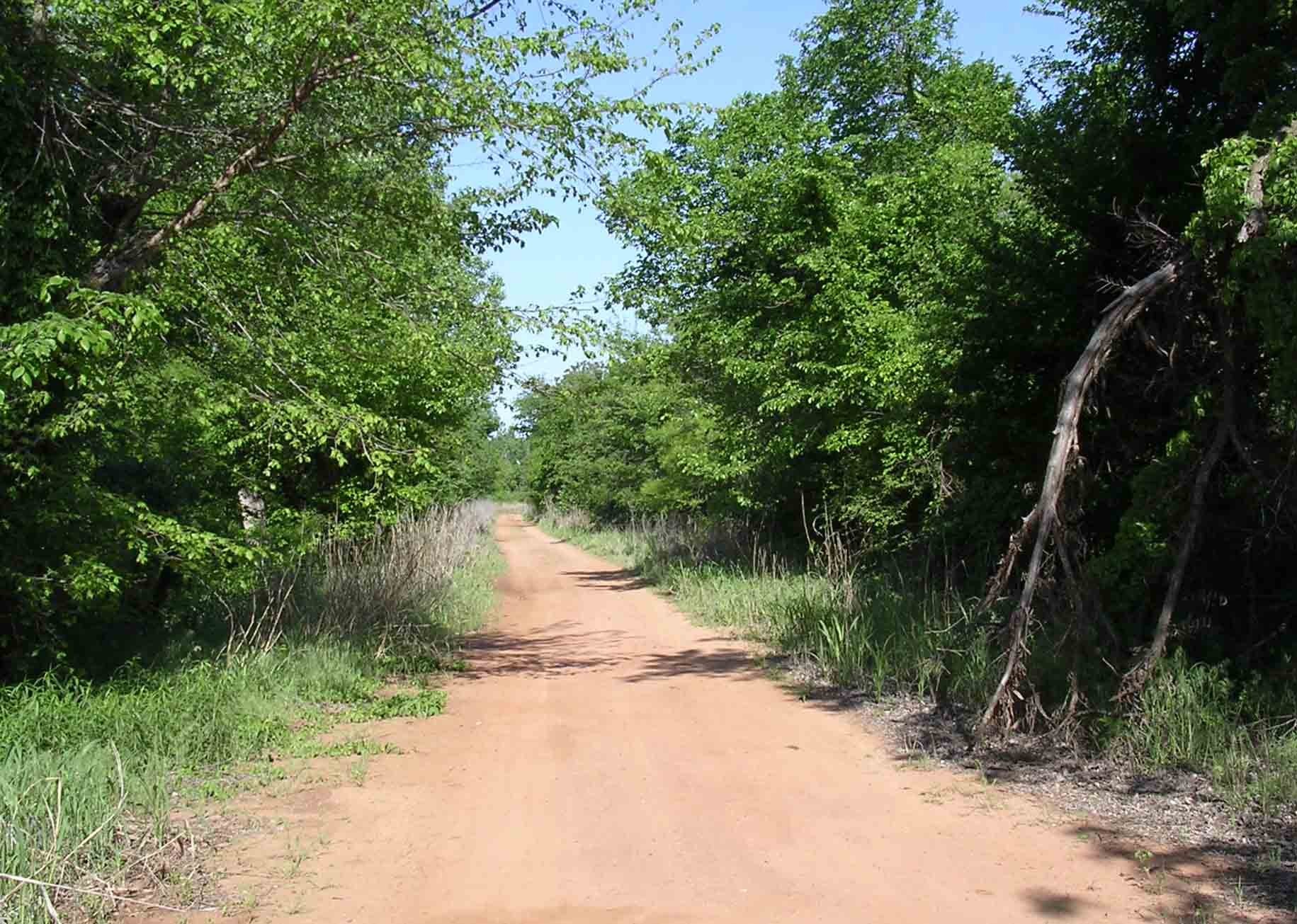
Old road westbound for the "Key Ghost Bridhe"
Oklahoma
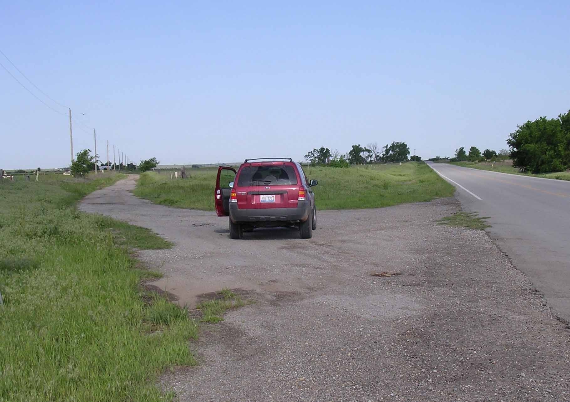
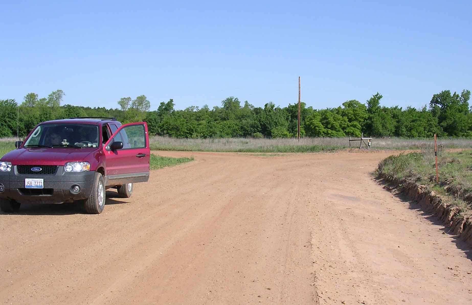
Keybridge Rd / 66 Bypass junction (eastbound)
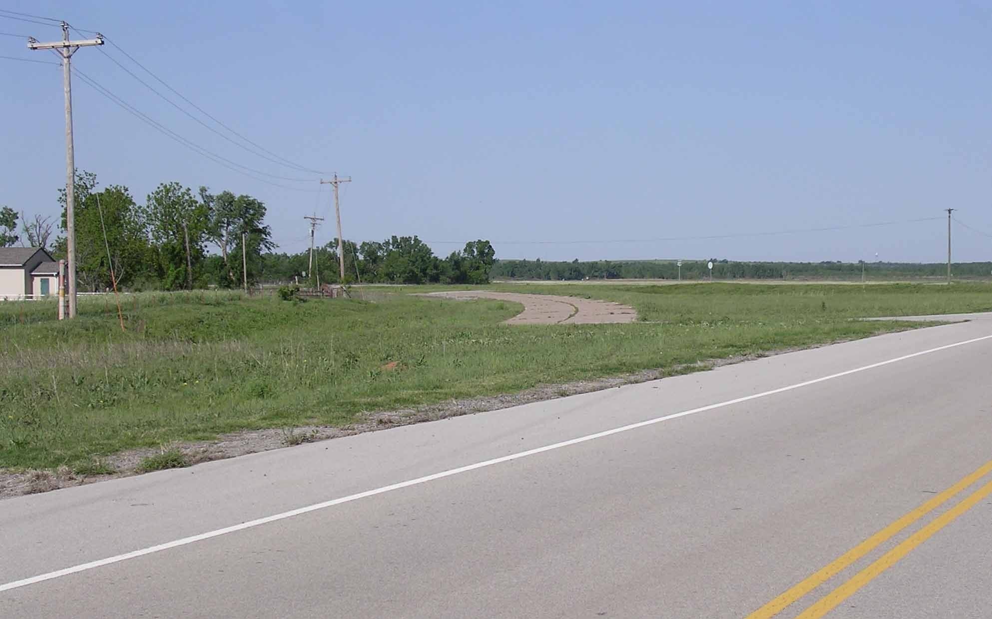
Oklahoma
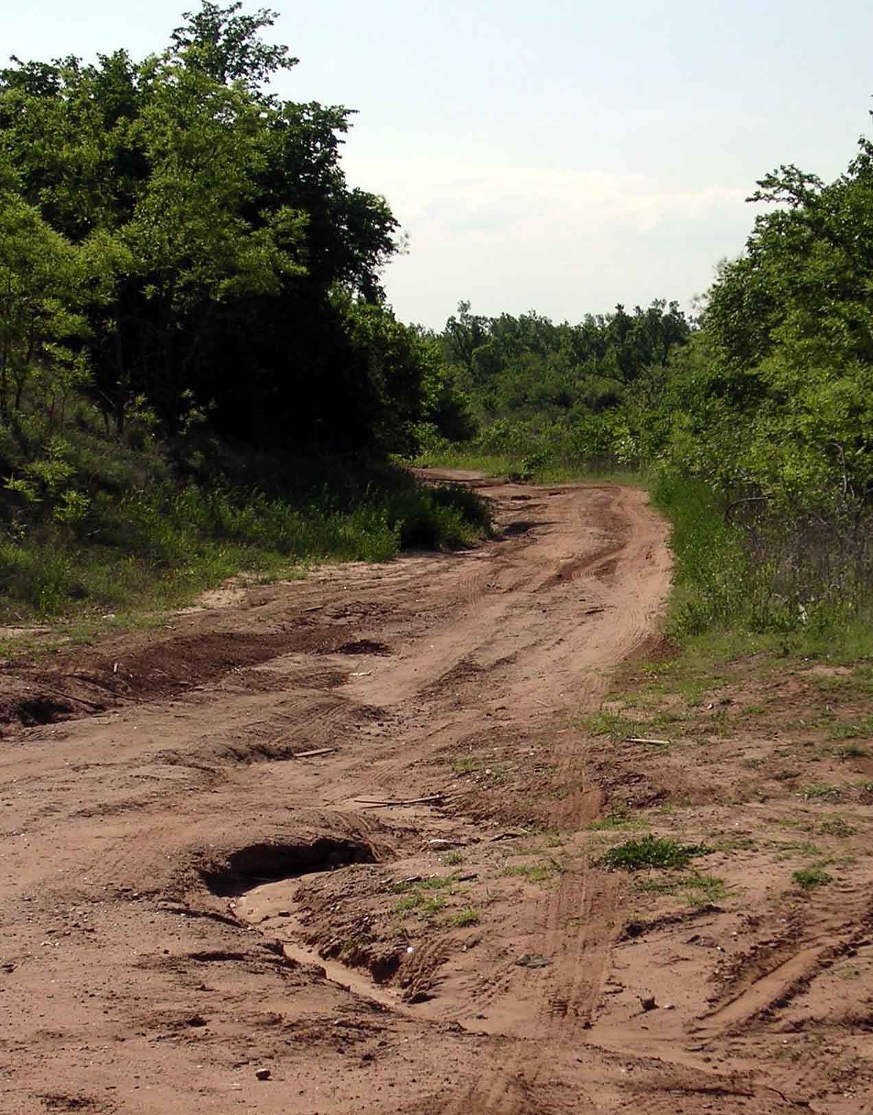
Eastbound from Kea Bridge Site
Oklahoma
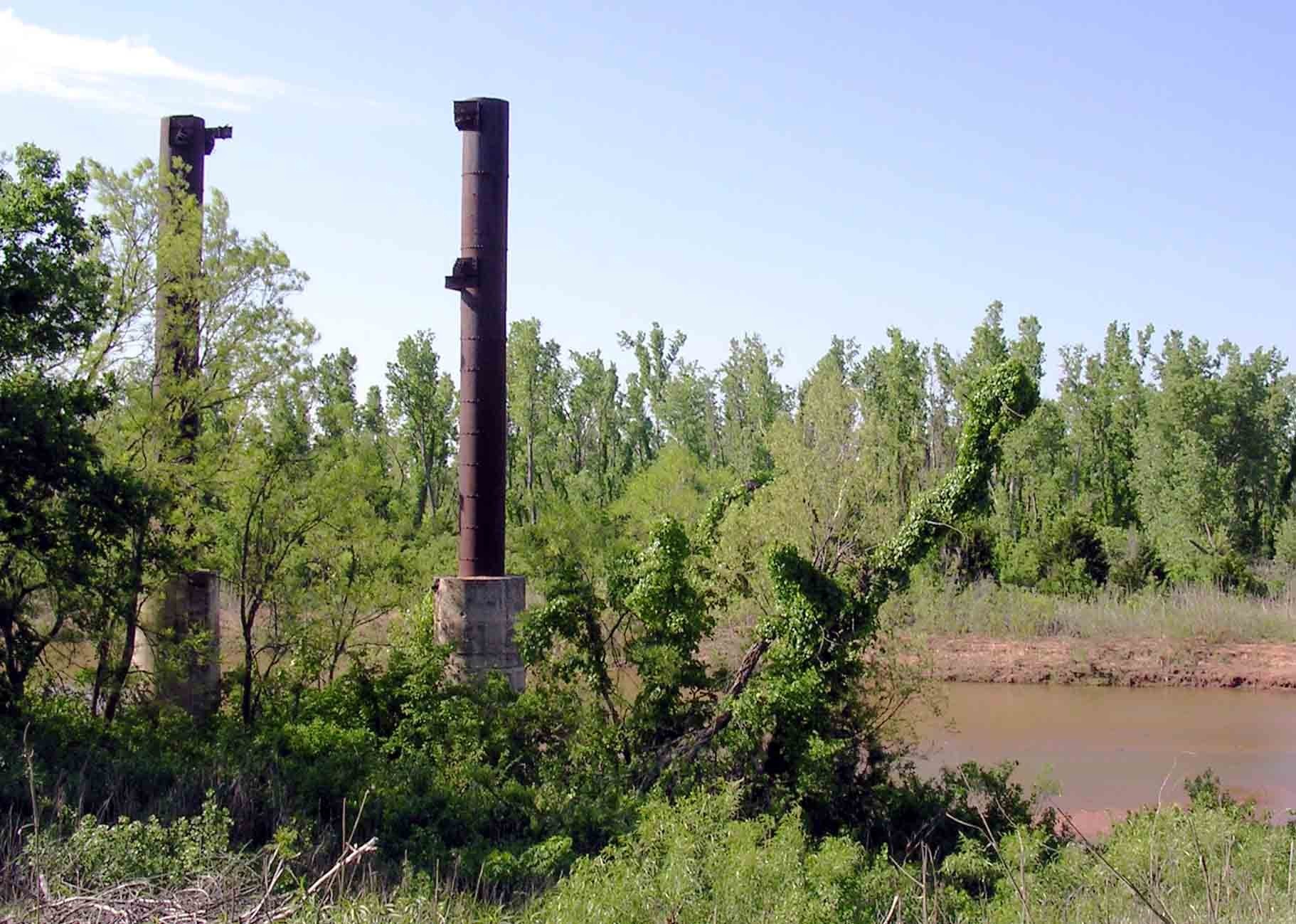
Remnats of "Key Bridge"
Oklahoma
Bridgport Hill descent (westbound)
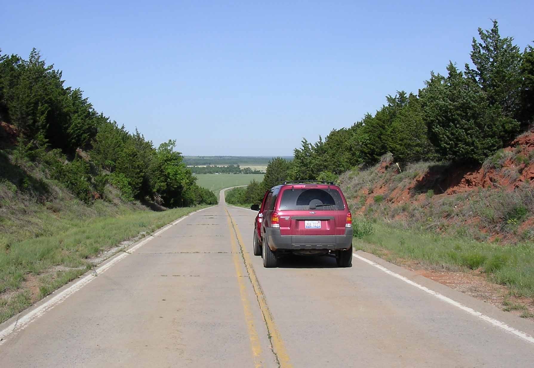
Oklahoma
Bridgport Hill (eastbound view)
Oklahoma
Bridgeport Hill junction
Oklahoma
"Pony Bridge" westbound
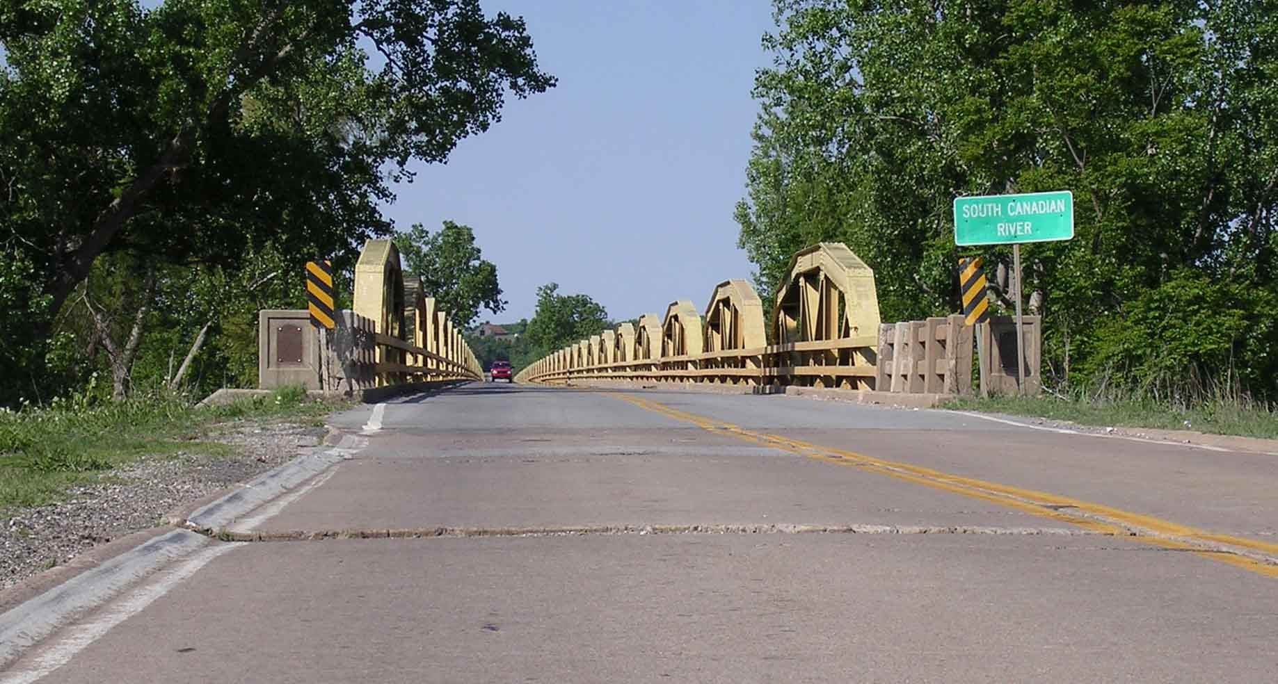
|
|||||
| 1 2 3 4 5 6 | |||||